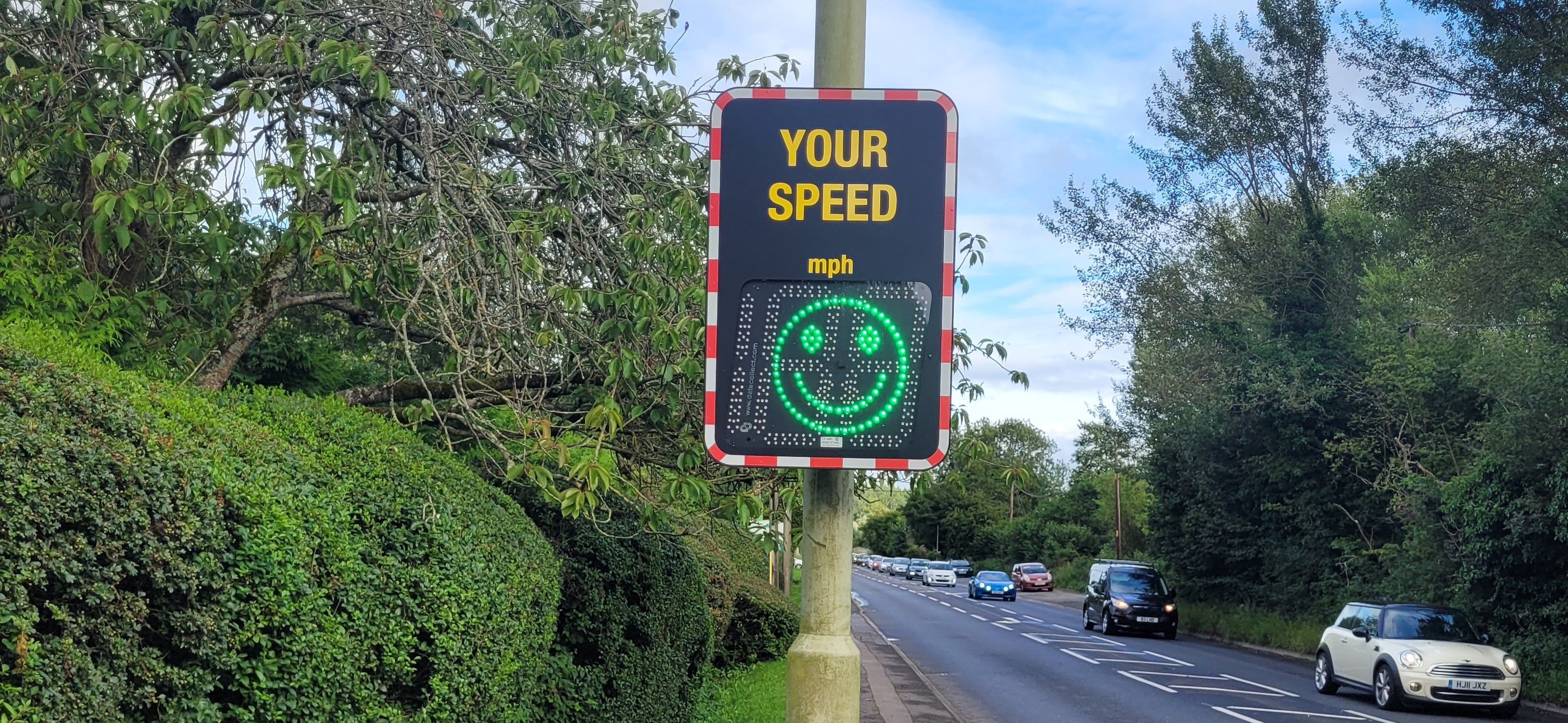
The Town Council have 4 SIDs (Speed Indicator Devices)
located around Hungerford which are moved around seven different locations. The
Town and Manor have a further two sites on the Common near the Down Gate and
Kintbury Gate. The data collection is shared by the Council and Town
& Manor. All the locations have been approved by West Berkshire, the
highway authority. There is also a solar panel on one SID, which saves us
having to change the battery twice per week. The SIDs on the Common used to
operate only when cattle was grazing but this is now all the time to help
reduce speeding throughout the year. The nine locations are as follows:
- A4 Eastbound about 50m east
of Cottrell Close
- A4 Westbound across the
road from Dobbies Garden Centre
- A4 Westbound Charnham
Street, 100m west of the BMW garage
- A4 Eastbound Charnham
Street on Charnham Lane
- A338 Salisbury Road
Northbound, 100m south of Priory Rd
- A338 Salisbury Road
Southbound, 200m south of Priory Rd
- A338 High Street,
Northbound
- Park Street Eastbound on
the Common, 150m east of the Down Gate (Town & Manor)
- Hungerford Road Westbound
on the Common, 100m west of Kintbury gate.(Town & Manor)
A summary of data
collected to date can be viewed here: Summary
There is some
technical information and this is explained here: Explanation
More detailed information for some of the sites is shown
below. This is generally the most recent data for that site:
A4 Cottrell Close
A4 Dobbies
A4 Westbound Charnham Street
Charnham Lane Eastbound
A338 Salisbury Road
A338 Salisbury Road Southbound
A338 High Street
Common- Park Street
Common Kintbury End
https://www.hungerford-tc.gov.uk/media/Amenities/SIDs/A4%20Charnham%20Lane%2017%2001%2025%20to%2015%2011%2025%20Eastbound.pdf